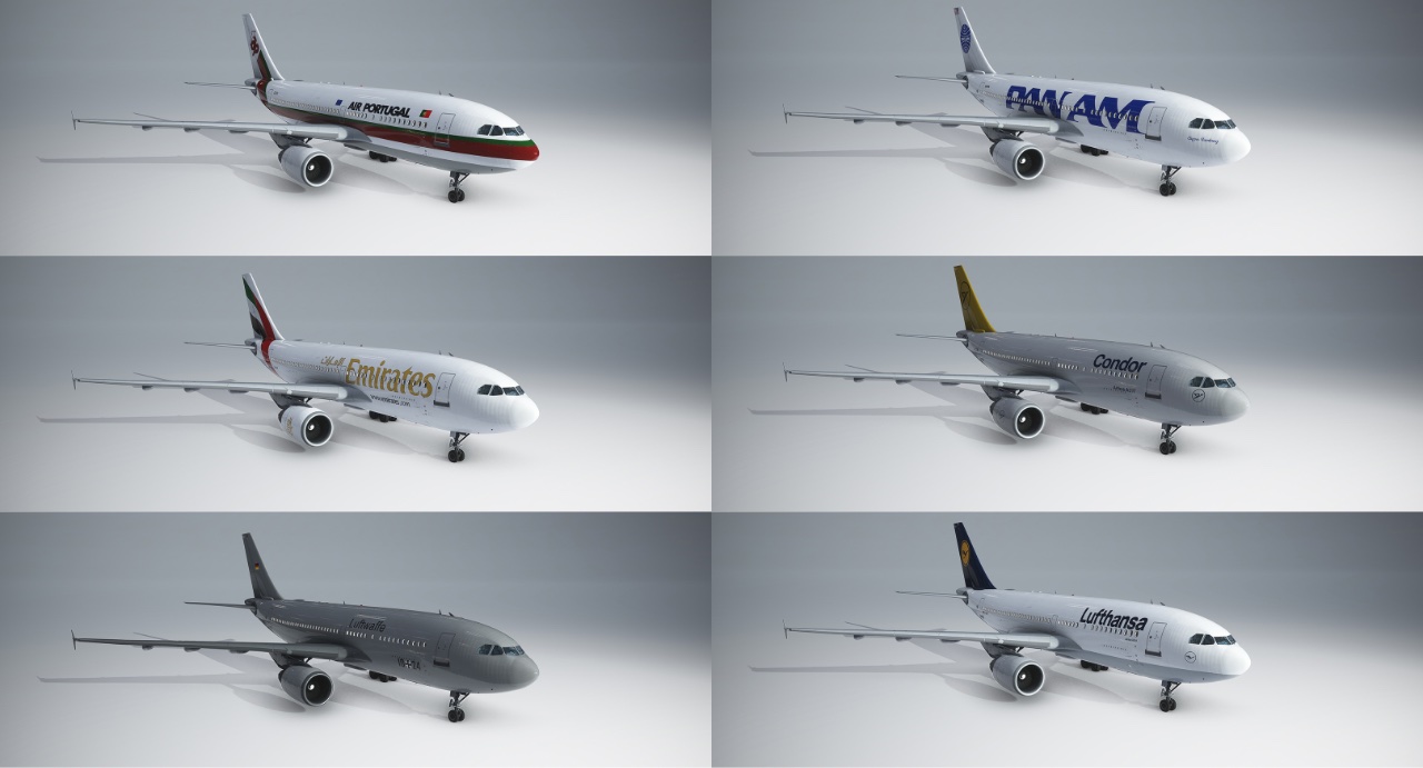
DC Scenery Design – A310 Livery Pack 1 v1.0.0February 27, 2023January 17, 20254 CommentsDC Scenery Design, iniBuilds, Microsoft, MSFS 2020 Livery, MSFS Marketplace Description Livery package for Airbus A310 The package includes: • Air Transat • Air France • Condor • Emirates • Fedex • KLM • Lufthansa • Luftwaffe • PanAm • TAP Portugal Rapidgator Download ↳ Rapidgator Premium↳ Availability not guaranteed ModsFire Download ↳ Due to rate limits, do not download multiple files at the same time Torrent Download Label {} [+] Name Email Effective immediately, please follow these new rules or your comment will be deleted: 1. Only post comments about technical questions and answers. For example, a new version being available, an addon not working, techniques to improve an addon, compatibility and other troubleshooting questions. 2. Comments that can easily be answered by our FAQ, Important & Info Boxes on top of a post or stickied comments will be deleted. 3. If someone else has already posted a comment with the same question you are having, your comment will be deleted. So make sure to look through other existing comments first. 4. Treat other commenters with respect. If you want to discuss anything else about an addon, make a thread on the official MSFS forums instead. For questions or suggestions about the website, see our Contact Page instead. After commenting, please wait until your comment is approved, this might take multiple days. I confirm that my comment follows the rules above. Δ Label {} [+] Name Email Effective immediately, please follow these new rules or your comment will be deleted: 1. Only post comments about technical questions and answers. For example, a new version being available, an addon not working, techniques to improve an addon, compatibility and other troubleshooting questions. 2. Comments that can easily be answered by our FAQ, Important & Info Boxes on top of a post or stickied comments will be deleted. 3. If someone else has already posted a comment with the same question you are having, your comment will be deleted. So make sure to look through other existing comments first. 4. Treat other commenters with respect. If you want to discuss anything else about an addon, make a thread on the official MSFS forums instead. For questions or suggestions about the website, see our Contact Page instead. After commenting, please wait until your comment is approved, this might take multiple days. I confirm that my comment follows the rules above. Δ 4 Comments Newest Oldest Inline Feedbacks View all comments Load More Comments