– MSFS 2024: We have added Lido and FAA charts as an alternative to Navigraph charts. Note that FAA charts have a georeferencing issue, so we have disabled them (no aircraft position on FAA charts).
– Removing the dot characters from the ident string when importing a flight plan.
– Added the Airac cycle version for the Asobo database to the system / system status page.
– The Import from file function can now import files saved by the MSFS 2024 EFB.
– Get METAR from the nearest station when none available at the given airport.
v2.2.47:
– Single package for MSFS 2020 and MSFS 2024.
– Dynamic selection of the framework version in MSFS 2024.
– Added a warning message when the G3X version is not compatible with the current framework version. Possibility to fix it from the options pages.
– Bugfix: MSFS 2024. The flight plan may not display correctly on the flight plan page.
v2.2.46:
– Added an aircraft type option (premium).
– Bugfix: in the 2024 version, some LNAV data was not initialized correctly after restarting a GTN unit.
– Bugfix: the com frequency display may be wrong with 25Khz channel spacing.
– APGA: fixed an issue where the indicated altitude may be wrong (99000) when swapping GPS.
– Bugfix (2024): some user waypoints may have bad dtk/distance when the GTN750 toolbar is used with a G1000Nxi.
– Bugfix: Sim Metar fallback (without avwx token) was not working.
– Bugfix: On MSFS 2024, when using the stock Asobo flight planner, setting procedures was impossible.
Features:
• COM/NAV
• Audio panel
• Transponder
• Map
• Flight plan editing and leg
• Procedures with preview
• Direct To
• OBS
• Waypoint pages
• Nearest pages
• Messaging
• In-game toolbar panel
• Asobo or Navigraph database
• Working Title compatibility
• Events for external control
• Map waypoint selection
• Map auto zoom
• Direct-To map waypoint
• Map waypoint elevation data
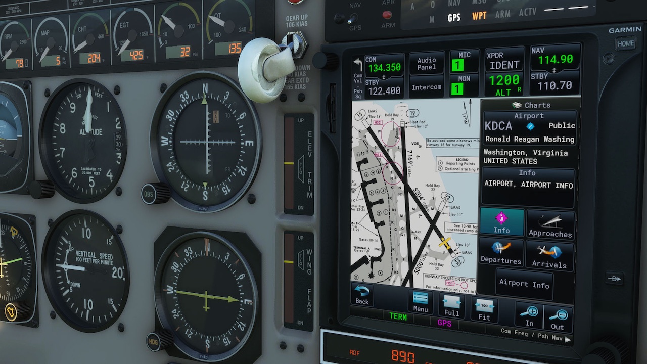
• NAVIGRAPH Charts (worldwide)*
• Traffic page (TCAS)
• Terrain page
• Weather radar
• FPL preview
• FPL import (File and SimBrief)
• FPL invert
• FPL Catalog (load and save)
• Airways
• Metar / TAF
• VCALC Utility
• User waypoints
• Timers
• Fuel planning
• SAR Patterns
• Checklists
• Visual approaches**
• Vectors to final**
• Holds**
• Road/Sat/IFR/VFR map***
• DALT/TAS/Winds
• Extended map fields
• Sim variables viewer
• VATSIM panel
• Safe taxi*
• DME / Radial info
• Track vector
• Fuel range rings
• External backlight control
• User fields
• Vertical navigation (VNAV)****
*Requires a Navigraph subscription for charts.
**Only for aircraft compatible with the Working Title Technology (WTT) or when using the toolbar panel GTN750 with an aircraft having a WT GPS in the cockpit.
***Requires a free Bingmap key for the Road and Satellite maps and a Navigraph subscription for charts for the IFR and VFR maps.
****Only for aircraft with internal WTT mode.