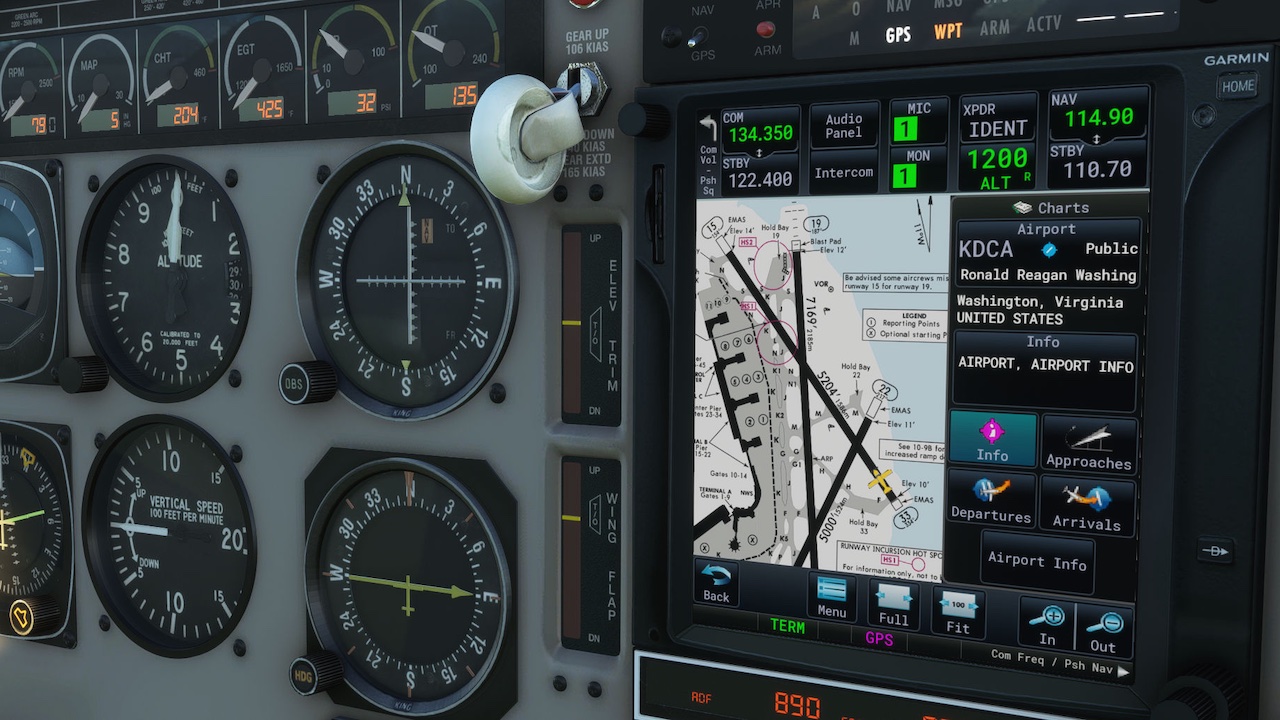
The PMS50 GTN750 is a GPS instrument that looks similar as the original GARMIN GTN750.
Features:
• COM/NAV
• Audio panel
• Transponder
• Map
• Flight plan editing and leg
• Procedures with preview
• Direct To
• OBS
• Waypoint pages
• Nearest pages
• Messaging
• In-game toolbar panel
• Asobo or Navigraph database
• Working Title compatibility
• Events for external control
• Map waypoint selection
• Map auto zoom
• Direct-To map waypoint
• Map waypoint elevation data
• NAVIGRAPH Charts (worldwide)*
• Traffic page (TCAS)
• Terrain page
• Weather radar
• FPL preview
• FPL import (File and SimBrief)
• FPL invert
• FPL Catalog (load and save)
• Airways
• Metar / TAF
• VCALC Utility
• User waypoints
• Timers
• Fuel planning
• SAR Patterns
• Checklists
• Visual approaches**
• Vectors to final**
• Holds**
• Road/Sat/IFR/VFR map***
• DALT/TAS/Winds
• Extended map fields
• Sim variables viewer
• VATSIM panel
• Safe taxi*
• DME / Radial info
• Track vector
• Fuel range rings
• External backlight control
• User fields
• Vertical navigation (VNAV)****
*Requires a Navigraph subscription for charts.
**Only for aircraft compatible with the Working Title Technology (WTT) or when using the toolbar panel GTN750 with an aircraft having a WT GPS in the cockpit.
***Requires a free Bingmap key for the Road and Satellite maps and a Navigraph subscription for charts for the IFR and VFR maps.
****Only for aircraft with internal WTT mode.
 Airports & Sceneries